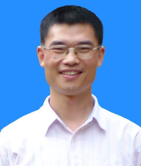
Prof. Zhujun Gu
Pearl River Water Resources Research Institute, China
Title: HydrSAI: Fresh from the Oven AI Cloud Platform for Water Conservancy Remote Sensing
Abstract:
This presentation introduces HydrSAI, a pioneering intelligent cloud platform developed for water conservancy remote sensing by integrating artificial intelligence (AI) and multi-source remote sensing data. Facing the challenges of low efficiency, high cost, and strong subjectivity in traditional manual interpretation for national high-frequency water conservancy supervision, HydrSAI addresses these gaps through a suite of key technologies. These include dedicated remote sensing data acquisition lines, advanced image preprocessing (e.g., massive data processing with GXL Pixel Factory), multi-scale image registration, spatial-spectral fusion, color reconstruction, and AI-based intelligent recognition models (utilizing TensorFlow, PSPnet, Unet++, etc.).
The platform features a robust workflow from sample collection (100,000+ labeled samples) to model training and system integration, enabling rapid identification of water conservancy elements. Application cases demonstrate remarkable efficiency: 7-minute identification for Shenzhen (1,998 km,² 260× faster than manual interpretation, 86% accuracy) and 10-hour processing for Guangxi (143,000 km,² 200× efficiency gain). It has been successfully applied to human disturbance monitoring, riverlake "four disorders" (illegal occupation, mining, dumping, construction) identification, water area change detection, and collapse-landslide monitoring in projects like the Datengxia Reservoir. With its capability to build localized AI models for diverse scenarios (water and soil conservation, flooddrought disaster prevention, etc.), HydrSAI paves the way for intelligent, high-precision water conservancy supervision across China's river basins.
Biography:
Dr. Zhujun Gu is a Professor and Director of the Innovation Center at Pearl River Water Resources Research Institute, specializing in AI remote sensing and vegetation remote sensing. He has pioneered spectral-textural-angular collaborative vegetation remote sensing, integrating multi-source data to invert vegetation structure with high precision. His research also excels in AI-driven remote sensing for water conservancy elements, developing the HydrSAI Platform to enable intelligent monitoring of soil-water conservation and river-lake supervision. Through plot experiments and multi-angle remote sensing, he innovated 3D vegetation volume analysis, significantly advancing ecological modeling.
As the principal investigator of three National Natural Science Foundation projects (with one ongoing), Dr. Gu has secured over ¥25.4 million in research funding. His leadership in these national-level projects underscores his expertise in advancing AI remote sensing and vegetation structure research, complemented by 80+ publications (40+ SCI-indexed), 10+ invention patents, and 6 software copyrights. His technologies have been applied across 548,000 km² in provinces like Guangdong, Fujian,Hunan,Hainan, Zhejiang,and Jiangsu, supporting soil-water conservation, ecological restoration, and water project safety monitoring. As a recipient of the Pearl River Water Resources Commission's Science and Technology Progress First Prize, he serves as a key academic leader in Jiangsu's "Qinglan Project," bridging remote sensing innovation with practical environmental management to enhance intelligent governance efficiency nationwide.